

May flooding
Ashley Rakahuri River flood 30 May 2021
Left: 4.00pm 29 May. Water flow 4 cumecs.
Right: 4.00pm 30 May. Water flow 966 cumecs.
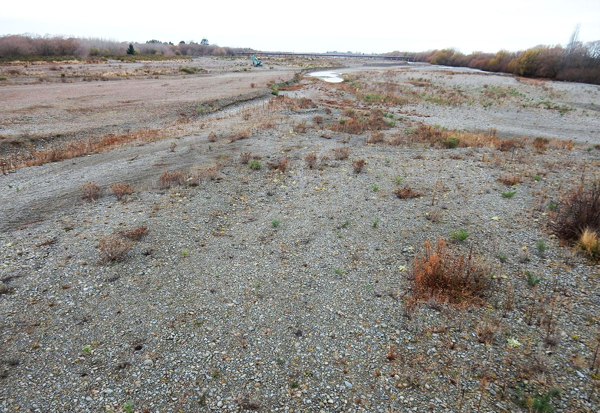
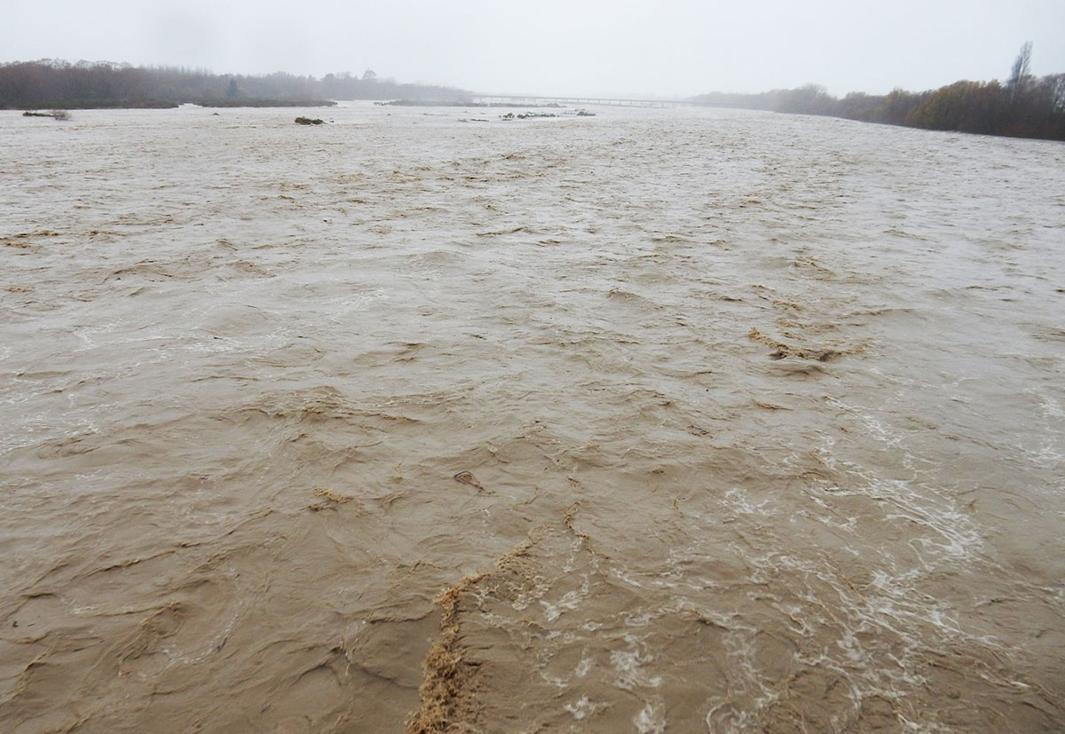
Photos: Nick Ledgard
June 01
Photos – Grant Davey

Looking upstream from approximately the downstream end of what used to be the Railway island – only a few small islands poking out of the water, bare of weeds. The layout of the river here might be quite different when flows drop. And the effects of gravel extraction look likely to be wiped out – this had diverted at least 2/3 of the flow to the south of the island.

Looking downstream to the “Golf Links” island – this seems to have lost quite a bit of area – it is an island which we have wanted gone, it has mature weed and trees. Unfortunately the river is definitely not going to be going around it.

Looking upstream to the railway bridge. The awful heavily vegetated island here has lost a lot of area.

Looking over the railway bridge to the Cones Road bridge. Again lots of vegetated island area gone.

The small stopbank and trees along the edge of the area north of the Railway island. This shows how effective those willows which grow up from trunks laid along the edge of the berm are – breached in only one place, but the trees remain.
Just downstream from here, past where they had stopped doing this, the river did break through quite a high natural bank. I have/had a trap in the willows just past that bare gravel. I didn’t think this was a spot in danger. Two other traps just upstream from this photo, which I also didn’t think were at risk, had been washed a few metres and filled with sand. Further downstream I rescued a few traps, before the flood, which would definitely have gone.
We are not going to have to clear weeds this year, with the possible exception of a few willows. There doesn’t look to be a massive amount of driftweed around either. The higher islands and the berm, as expected, have attracted a lot of sand – so weeds will probably grow rapidly again. But from what you can see of the lower islands, they seem very gravelly which will be good for nesting and worse for weeds.
Once the river is back to 10 or 15 cumecs I’ll drone photograph between Cones Rd and SH1 to properly see what has happened.
– Grant Davey


