Use of the Ashley-Rakahuri berm
by Nick Ledgard, Chair
Management of braided river margins
This topic is currently a hot one, due to the outcomes of the Dewhirst v ECan court case over what defines a braided riverbed. As I understand it, the fear is that this opens up opportunities for farming development of braided river components (the braidplain). There is particular concern about the future of braided riverbed margins or berm areas which could be regarded as currently stable and with no significant conservation values (other than for flood protection).
How does the Ashley-Rakahuri (AR) river fare in this case?
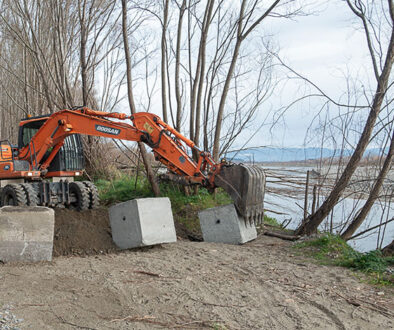
Management objectives. The No 1 goal of ECan in its management of the Ashley Rakahuri River is to prevent flooding of adjacent farmland and urban areas. To this end, the central water-flow fairway is kept as free of vegetation as possible so that floods can reach the sea with minimum impediment. The main flood protection features outside the fairway are raised banks, inside which is a vegetated zone called the berm. The banks consist of man-made stopbanks (all along the southern margin and the eastern northern margins) and natural terrace banks (the western northern margin), strengthened by short boulder groynes created at right angles out into the riverbed. Inside these banks, between them and the main water fairway, is the berm, a wide strip of land designated to protect the banks from the strong river flows which occur during floods. For this reason, the berm is dominated by introduced protective woody vegetation, either planted (mostly willows, poplars and pines) or naturally invasive ‘weed’ species (such as gorse, broom, elderberry, blackberry etc).
Stable wasteland or potential farmland? One reads of ‘affected’ stakeholders stating that the berm is stable wasteland, which has not been part of the braided riverbed for decades, despite many large floods. They also claim that it has no indigenous biodiversity values. Hence, the case to develop parts of the berm into productive farmland is considered a deserving one—and on the Ashley Rakahuri, this has been carried out in places.
Stable? They are correct in saying that these well-vegetated berm areas could currently be considered as stable, as they now have more intact woody biomass than ever before—much of it composed of naturally established weed species. Major floods, such as the 1-in-10 year one (580 cumecs) in July 2017, do flow through such areas, but they are unable to clear them completely, despite removing parts of the margins.
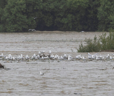
Native biodiversity? They are incorrect in saying that there are no indigenous biodiversity values—as no-one has every surveyed these. Birds such as fantails and grey warblers are common, so there must be a reasonable invertebrate population as these species are insect feeders. Beneath the vigorous vegetation cover are many springs, waterways and a few open expanses of water, which would undoubtedly have been natural habitat for native fish and insects. It would not be surprising to find that remnants of these are still present. But nobody knows as nobody has had a good look for them. All these values would be lost if converted to farmland.
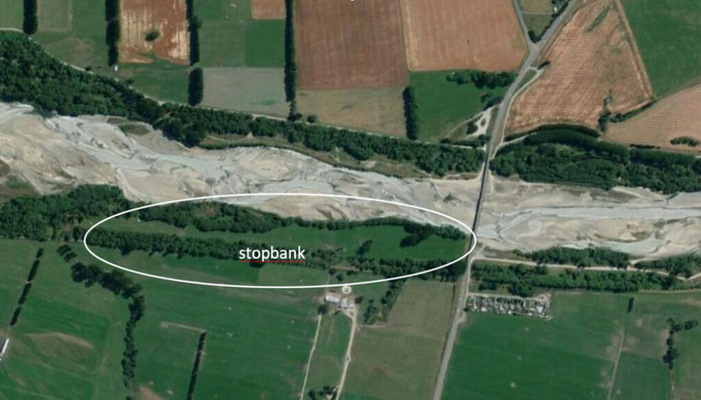
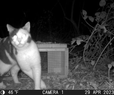
Berm development into productive pasture. There are many examples of where the berm zone of braided rivers has been developed into productive farmland. On the Ashley Rakahuri, this has occurred along the lower southern margins just above the SH1 bridge (Google Earth image above). A narrow strip of willows has been left between the pasture and the fairway, presumably in order to retain berm stability and keep the river in the fairway. However, in the 2017 floods, around 30% of our 148 predator traps were lost, and all of these were sited in margins of what we considered as stable berm land. No-one would question that if a flood penetrated that strip, it would rapidly erode away the pasture and thereby potentially threaten the stopbank. This would not be the case if the dense woody vegetation previously there was still intact.
Dewhirst v ECan court decision and the AR. The ECan case was considered lacking in consideration of the role of the banks which mark the margins of braided riverbeds, as it argued for protection of the braid plain out beyond such banks. The Court felt that according to Section 2 of the RMA, a riverbed should be defined as ‘the space which the waters of the river cover at its fullest flow without overflowing its banks’. In the Ashley Rakahuri situation, the only banks bordering the river are the stopbanks and natural terraces, which are all outside the berm strips. Surely then, farm development of the Ashley Rakahuri berm is occurring within the RMA definition of a riverbed? Even more importantly from a local perspective, surely the No 1 management objective of the berm should be for the best possible flood protection—and not for private commercial gain from farming?


